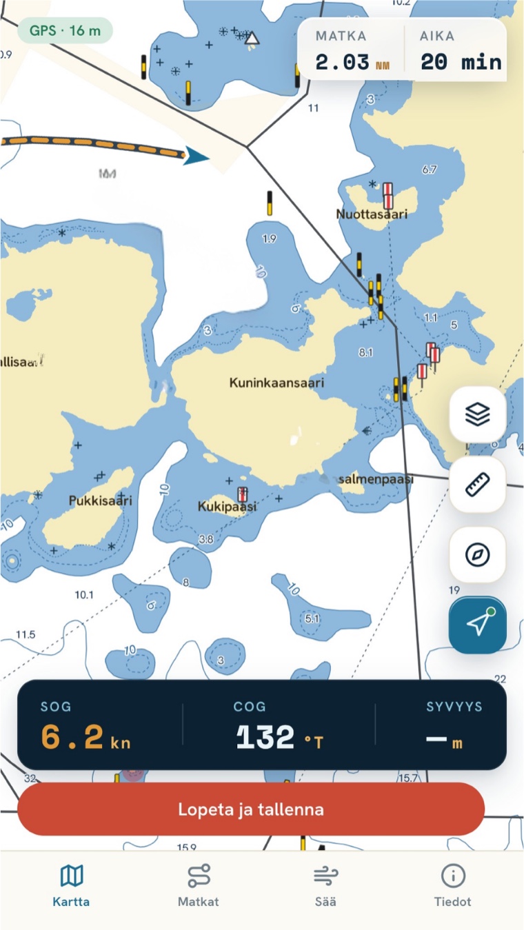
Your position on Finland's nautical charts.
A free, ad-free nautical chart — even offline, on the water with no signal. One shared app for the whole boating community.
In the browser and as an iOS & Android app







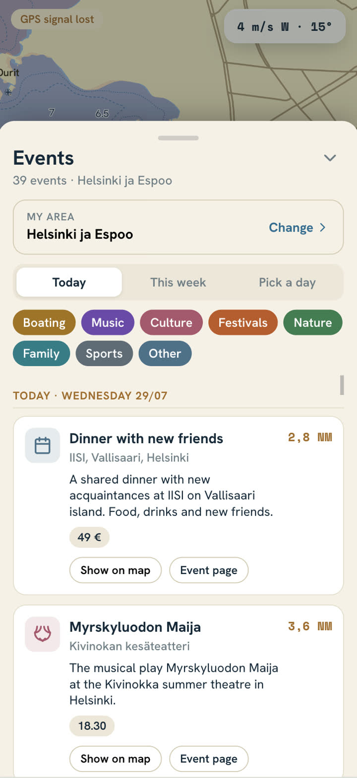
The marinas are going quiet. Let's bring the archipelago back to life — together.
The archipelago summer is full of concerts, markets, exhibitions and gigs. Until now they've only lived on pier notice boards and dozens of separate websites. The decline of archipelago culture isn't a lack of demand — it's a discovery problem.
That's why Luotsi now has the first event map and calendar for the Finnish archipelago and lakes — so archipelago culture doesn't fade away.
Learn more →Built for the water — only the essentials
Simple, fast and dependable. No accounts, no ads, no distractions.
Live position
Your GPS position on a smooth vector chart.
Trip recording
Track, trip duration, max & average speed.
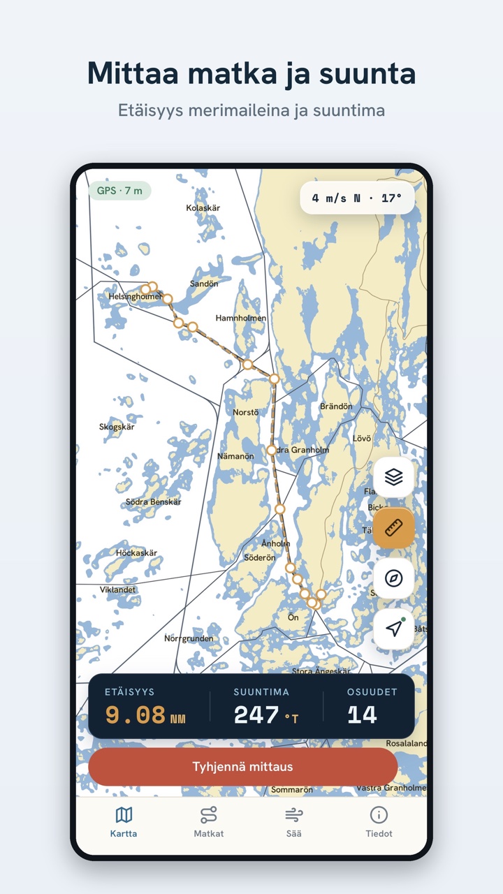
Measure tool
Distance and bearing between points.
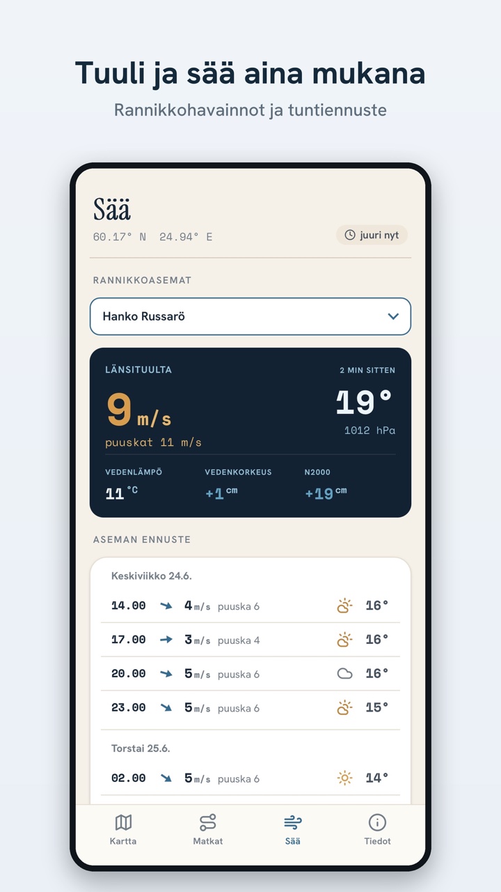
Wind & weather
Weather now and for the hours ahead, including coastal stations.
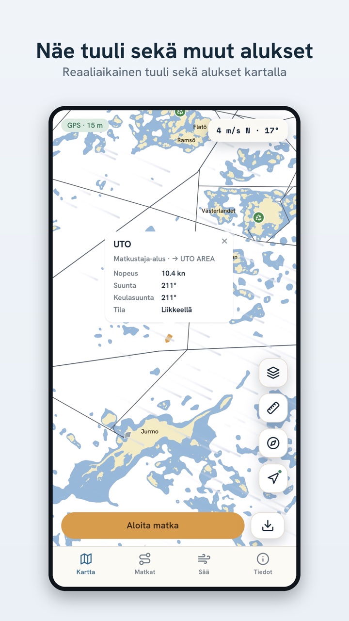
Live AIS
Nearby vessel positions in real time.
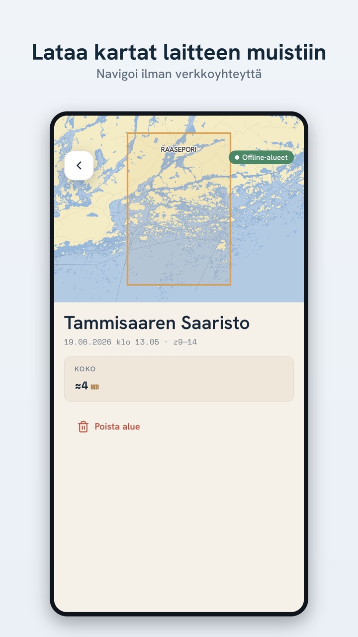
Offline maps
Download an area ahead and use the chart with no signal.
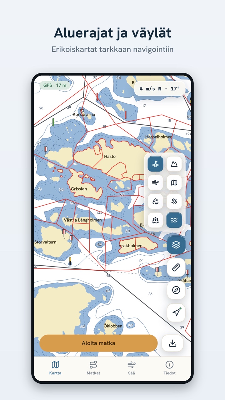
Pump-out & services
Marinas, fuel and septic pump-out on the chart.
Property boundaries
Land Survey boundaries for buying islands or landing.
See Luotsi in action
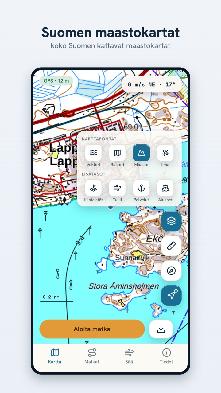
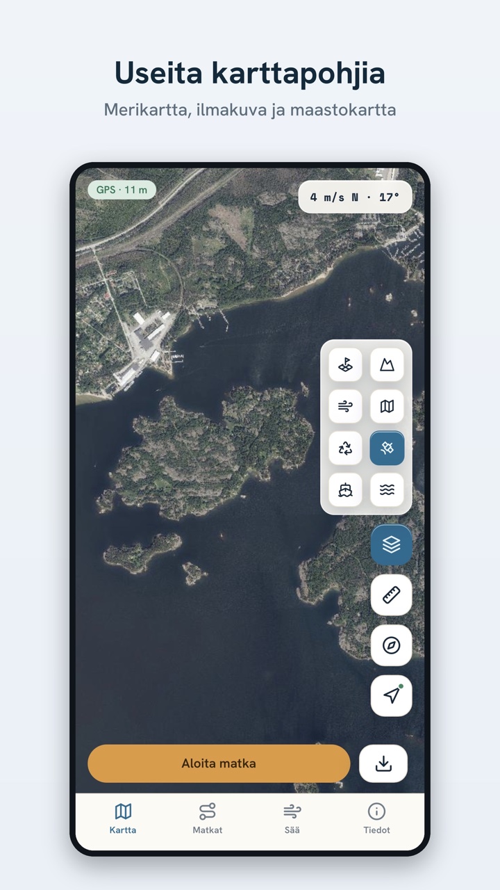
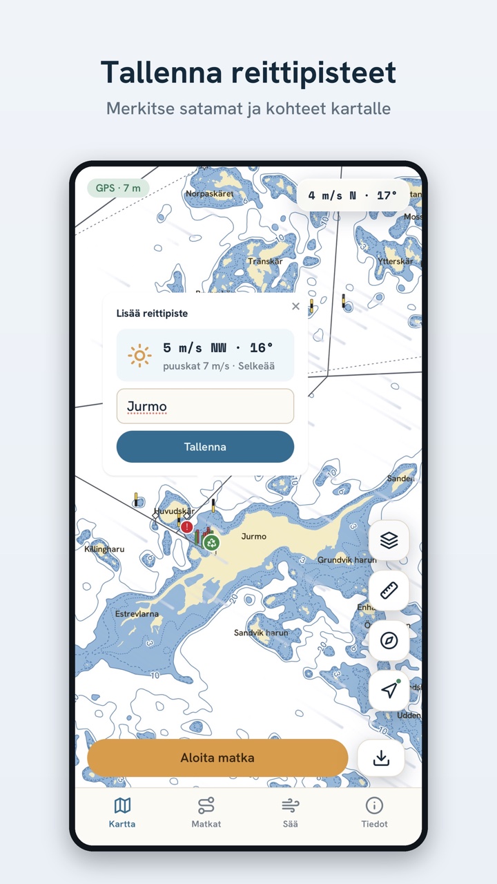
Chart, weather, AIS, measuring, offline areas and waypoints — all in one app.
An honest tool — you are not the product
Open data
Contains open data from Traficom, Väylävirasto, the National Land Survey of Finland and Fintraffic, plus weather from Open-Meteo and the Finnish Meteorological Institute.
Privacy
Your location never leaves your device. No accounts, no ads, no tracking and no analytics SDKs. Only coordinates rounded to about a kilometre are sent to fetch weather.
Not for navigation
Luotsi uses open data that is not suitable for navigation and is not an official nautical chart. Don't rely on it as your sole means of navigation. Carry official charts and equipment.
Head out with Luotsi
Open it now in your browser or install it on iOS or Android. All features, free.